
McNair Previous Residents by Record Era
Previous residents of a McNair address are not held in one official list. The strongest trail begins with today’s parcel reference and moves to the dated record best suited to each era. A current iCare record identifies the county parcel context. Fairfax Circuit Court instruments supply the recorded ownership trail. The Historic Records Center, Virginia Room, and Library of Virginia extend the search into older maps, tax books, directories, newspapers, and early deed indexes. Treat each entry as evidence for its own date, not proof of continuous residence.
| Source | Years it covers | Where held | What it can show |
|---|---|---|---|
| iCare parcel record | Current county display | Fairfax County Department of Tax Administration | PIN, current owner or entity when displayed, sales, assessment, and property context |
| CPAN land records | Images 1742-present; index data 1980-present; index-book images 1742-1979 | Fairfax Circuit Court subscriber route and courthouse access | Recorded parties, deed date, book and page, instrument number, and legal description |
| Historic Records Center deed indexes | Early online index ranges 1742-1866; physical indexes 1866-1942 | HRC and Land Records | Older grantor and grantee paths, with known missing or incomplete volumes noted |
| Historic land-tax books | 1851-1980 | Fairfax historical collections | Owner, acreage, location clues, building value, and how land was held |
| Directories and telephone books | Varies by exact edition | Fairfax County Public Library Virginia Room | Dated subscriber, address, or household lead when the volume covers the place |
McNair is a CDP within Fairfax County. A record may use a Herndon postal label, a Fairfax County office label, a parcel PIN, or a historic road description. Preserve those fields rather than treating them as interchangeable.
Trace McNair Past Owners Through Deeds
The deed chain is the backbone for an address history because it ties each recorded transfer to the land’s legal description. Fairfax Planning and Development’s historic-property guidance starts with the Fairfax County Tax Map Reference found through iCare. Search the Grantee Index for the current owner, then read the linked instrument when the image is available. The index hit itself is not the same as having inspected the document image.
- Use iCare’s address search to obtain the FCTM or PIN and note the current property address and legal-description context.
- Search the Grantee Index for the current recorded owner or entity, then capture the deed date, book and page, instrument number, parties, and legal description.
- Read the prior-conveyance language, often introduced by wording about the same parcel of land, to identify the earlier deed, will, or related record.
- Repeat the search with the prior grantor or grantee. Where a reference is missing, return to the index with an approximate date, locality, name variants, and parcel clues.
- Compare each transfer’s acreage, roads, streams, easements, plats, reservations, neighboring owners, and name variants before deciding that two records describe the same land.
- Grantor
- The party conveying land, usually the seller in a Fairfax deed-chain search.
- Grantee
- The party receiving land, usually the buyer in the same search.
- Chain of title
- The documented sequence of transfers traced backward one conveyance at a time.
- Legal description
- The deed’s land description, used with a PIN or FCTM to distinguish the parcel from similar address text.
A current tax-card owner, a recorded owner, a subdivision owner, and an occupant can be different. That distinction is essential when tracing McNair past residents from land records.
McNair Previous Residents Start With the Parcel
iCare is useful at the beginning of an historical search because it makes the present parcel visible. It supports address, tax-map-reference, and map searches. The county says property ownership and characteristics are updated twice weekly, while assessed values are as of January 1. It also warns that owner names can be withheld from the online record and that its mapped boundaries are not a legal survey. Use the portal’s visible owner or entity, property location, PIN, sales, assessment, and physical-characteristic fields as a dated cross-check, not as a roster.
Jade adds the map layer. Its parcel, address-point, subdivision, common-area, right-of-way, tax-map-grid, and Parcels by Owner layers can connect a street address to a spatial record. Historical aerial choices run from 1937 through 2017. They can help date visible road, building, parking, or open-land changes, but they cannot show who lived at a building. Aerial observations should remain visual evidence, while deed statements remain recorded evidence.
For an example of the separation, iCare’s inspected McNair-area record for PIN 0163 01 0038D displayed an entity, a property location at 13430 Coppermine Road, Herndon, VA 20171, and the PIN. That is a parcel-record example only, not proof of a resident list.
McNair Previous Residents Before Modern Indexes
Fairfax land records reach county formation in 1742, but the access path changes by date. CPAN lists land-record images from 1742 to the present, while its ordinary index data begins in 1980. Index-book images cover 1742 through 1979. For early deeds, online HRC indexes cover 1742-1866 in alphabetical ranges. Physical indexes cover 1866-1942, and records after 1942 route to Land Records. HRC identifies several missing volumes and incomplete indexes, which should be reported as gaps rather than supplied from an unverified transcription.
Historic land-tax books bring a second source into the McNair address history. Fairfax identifies land-tax books from 1851 through 1980. Depending on the period, they can be geographic and can show owner, how held, acreage, location, bearing or distance from the courthouse, and building value. The historical books are ownership and tax clues, not direct evidence that every named party resided at the address.
The Historic Records Center is at 4110 Chain Bridge Road, Suite 317, Fairfax, and has public research hours from 8 a.m. to 4 p.m. Monday through Friday. Its staff can explain the system, but they do not perform individual research. The Fairfax Circuit land-record research room follows the same weekday hours, and its land-record line is 703-691-7320, press 3 then 4.
McNair Past Residents in Directory Years
Directory years supply the household layer after the land trail is anchored. The Virginia Room’s early-directory guide includes Chataigne’s Fairfax listings for 1877, 1880, 1884, 1888, 1890, and 1897; Hill’s Virginia Gazetteer editions for 1906 and 1911; and Fairfax County, Virginia Directory for 1906. For the Herndon-area context, the library holds Herndon Area Directory editions for 1962 and 1967 and Herndon-Reston Community Directory editions from 1979 through 1985. It also holds regional white pages and later Reston and Herndon phone books.
Use the exact book, year, page, and repository call number. An entry may refer to a subscriber, boarder, business, or prior occupant. Fairfax criss-cross holdings are region-specific, so their titles do not guarantee that every McNair street appeared in an edition. The detailed collection shelf is available on the McNair city directories page.
- Choose a directory edition with known geographic coverage and note the address spelling exactly as printed.
- Compare the next available edition, then record only changes supported by both editions or another dated source.
- Pair an edition with a census year when an appropriate public census source exists for the period, keeping the census place and address evidence separate.
- Do not substitute an imagined 1890 census record: HRC states that no official 1890 Fairfax census is in its collection.
- Use deeds, tax books, maps, or newspaper notices to resolve a changed road name, postal label, or same-name entry.
McNair Previous Residents and Address Change
Address history is often disrupted by formatting rather than by a genuine break in the record. USPS formatting can change a suffix, directional, unit, or postal city. Jade’s historic aerials and the Fairfax Digital Map Viewer can test whether a road or visible site feature changed over time. The Digital Map Viewer provides Map type, Map year, and Map tile controls, with 444 tiles reported by the interface. It is the official place to determine whether a particular historic county or tax-map tile covers a McNair location.
PLUS, LDIH, and SRV create another date line. PLUS became the county’s central platform for new land-development records in 2022, while LDIH serves older uploaded records and SRV supports approved site-record work. Search address and parcel fields with the current and legacy number formats. A result can expose dates, project names, record types, addresses, parcel IDs, status, and other record roles, but not every plan remains available.
The Fairfax LDS records page describes PLUS, LDIH, SRV, and the document-retention rules that affect a past-residents search.
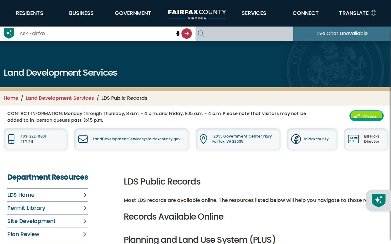
Plans and supporting documents can be destroyed three years after final inspection, while certain bonds, agreements, and site-plan materials are retained for five years after completion. An absent plan can be a retention outcome.
Fairfax’s September 2025 LDS report update records a change that added review cycles, due dates, and actions through the Reports dropdown.
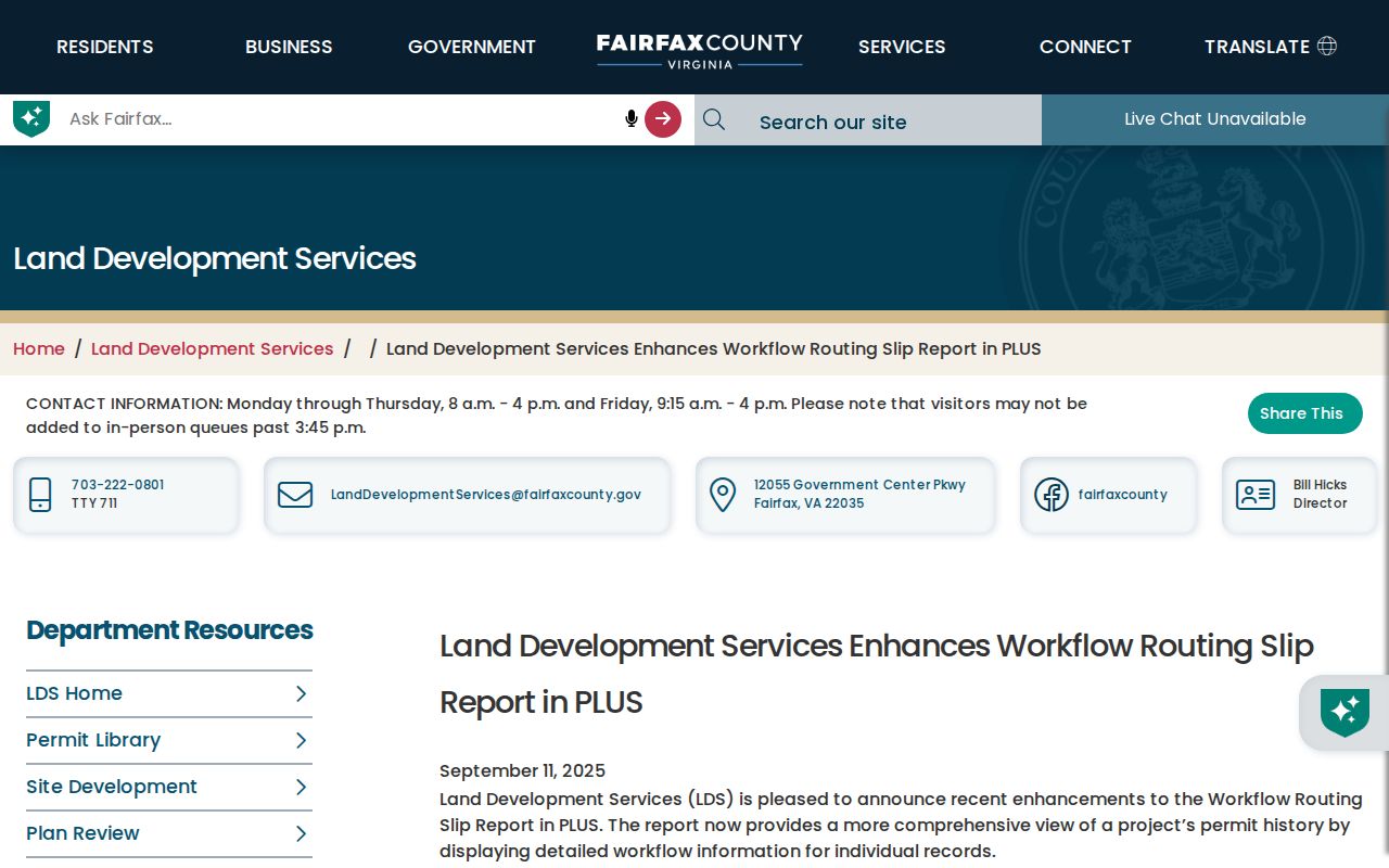
Record the date of a PLUS search because an older instruction or retired link may not reflect the current workflow.
McNair Previous Residents at Trail Endpoints
When the deed chain or directory sequence reaches a person-specific historical question, probate, newspapers, and obituaries may provide a dated lead. CPAN identifies probate and will images from 1742 to the present, subject to its series coverage. A will can connect family relationships and land disposition, but it should be read alongside the parcel and instrument record. The Virginia Room’s historical newspaper holdings can supply announcements, obituaries, property notices, school events, and organization news, but a newspaper notice is not a verified government record.
Fairfax Circuit eCaseSearch is a separate public index for civil and criminal case information from October 18, 2004 forward. It launched July 1, 2024, is free, returns the first 100 results, and does not provide documents or confidential records. A court party should not be treated as a McNair past resident without independent address and date corroboration.
Fairfax Circuit’s eCaseSearch update documents the index’s public-record use and its growing search volume after the 2024 launch.
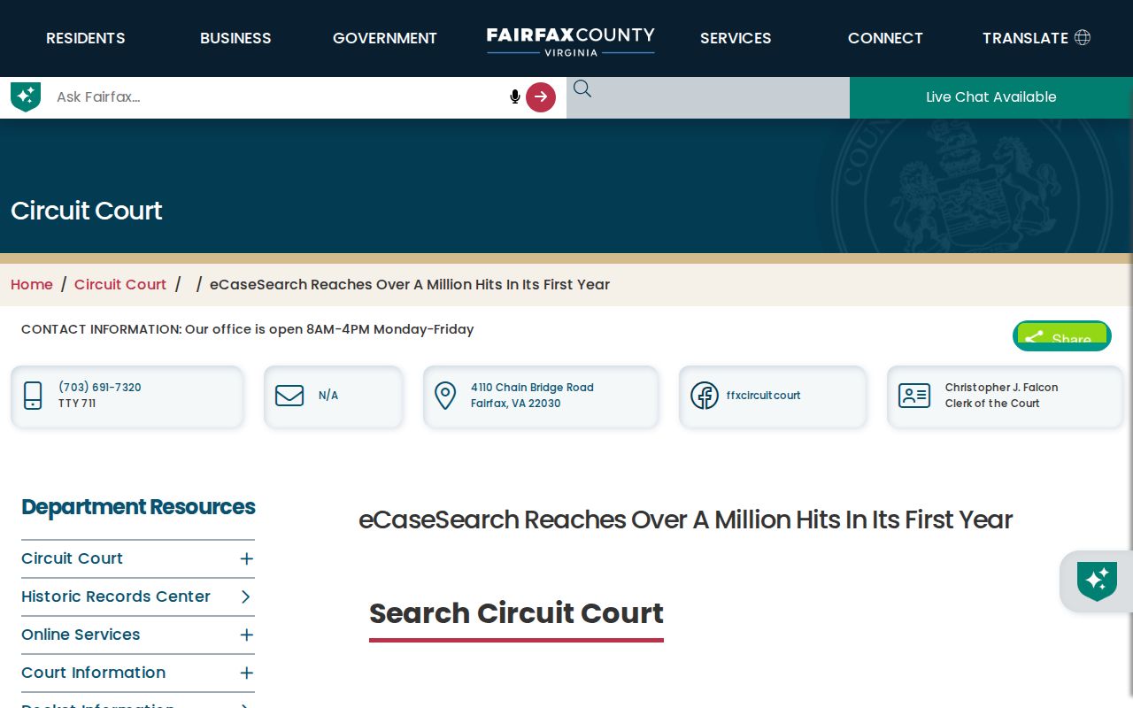
The public index can be a date-bounded research route, while the Circuit Records office remains the proper place for file review or certified copies.
Limits on McNair Previous Residents Research
Past residents research has firm limits. Vital records are protected by Virginia Code §32.1-271 except through authorized routes or applicable public periods. Virginia Safe at Home protections can shield an actual address and phone number for qualifying participants, and protective-order rules can protect related location information. A parcel owner, directory subscriber, historical poll-book entry, or court party is not automatically an occupant at the address, then or now.
Use confidence labels: directly displayed for a current portal result, indexed for a hit without the image, transcribed for a repository transcription, and reported by source for a county description. Keep a research gap as a gap. The research did not verify a specific McNair Sanborn sheet, Haines volume, yearbook, newspaper article, or deed image, so those details should not be invented.
Lawful use. Use the McNair house-history trail for personal, lawful research. Do not use old records to expose protected contact details or to stalk, harass, or harm anyone.