
McNair Neighbors in Block Records
Public sources can describe the parcels around a McNair address, but no source creates a complete, current list of neighbors. Fairfax Jade identifies parcels, address points, boundaries, and layers. iCare supplies assessment and property context and may show an owner or entity, subject to its display limits. My Neighborhood identifies address-based districts and services. The Virginia Room holds historical collections that can furnish dated leads. Each source must be read for the limited fact it actually displays.
| Block source | What it shows around an address | Access |
|---|---|---|
| Fairfax Jade | Address point, surrounding parcels, subdivision, common area, right-of-way, road, and mapped layers | Public map, property report, and selected-feature export |
| Fairfax iCare | Property location, PIN, owner or entity when displayed, sales, assessment, and physical characteristics | Public web display; internet owner names can be withheld |
| My Neighborhood | Precinct, election district, schools, fire and police, library, post office, hospital, parks, and elected officials tied to a searched address | County address-context tool |
| Recorded land records | Recorded party names, deed date, legal description, and parcel history | CPAN subscriber route or Circuit Court and HRC research routes |
| Virginia Room directories | Specific-year household or subscriber lead if the edition covers the road | Library collection and research equipment |
For McNair neighbors, distinguish a parcel owner from an occupant, a recorded party from a current person, and an address-context result from a person’s identity. A Herndon mailing city also does not make an address part of the Town of Herndon.
Map McNair Neighbors Through Adjacent Parcels
Jade’s selection tools make an immediate-block method possible without pretending that map features are resident data. Search the starting address, then use the selected parcel as the center point. Review only the immediately adjacent parcel features and their displayed records. The map supports click and rectangle selections, zoom, buffers, and selected-feature exports. A buffer is a geometric query, not a statement that every person within it is a neighbor.
- Search the McNair address in Jade by address, PIN, street, intersection, or subdivision, then inspect the selected result.
- Turn on address-point, parcel, subdivision, common-area, and right-of-way layers to understand the physical block.
- Click the adjoining parcels or select a small rectangle. Record the PIN, displayed parcel facts, and source date for each result.
- Use iCare to verify the parcel’s property record and note whether an owner or entity is displayed. Do not infer occupancy from that field.
- Use My Neighborhood for the starting address when public service, precinct, or facility context matters. Keep the returned context separate from parcel identity.
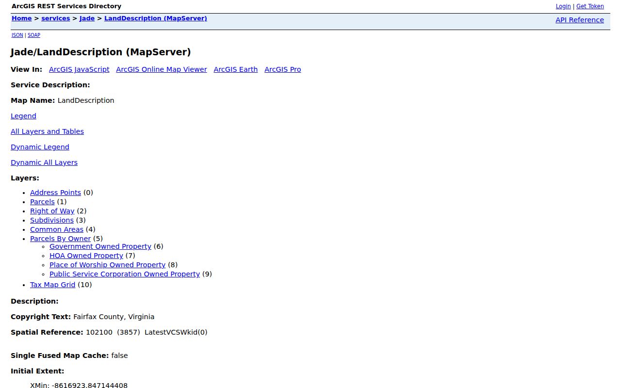
Jade’s LandDescription service lists the Address Points, Parcels, Right of Way, Subdivisions, Common Areas, Parcels by Owner, and Tax Map Grid layers available for a McNair block.
The parcel layer identifies a 15-character PIN, a useful county-system key that is more precise than a road name alone.
McNair Neighbors and Jade Context Layers
Jade’s top-level groups are Property and Planning, Community, Infrastructure and Environment, Basemaps, and Imagery. Its Parcels by Owner categories include government, HOA, place of worship, and public service. Those categories help describe a nearby parcel’s public or common-area role. They do not reveal a membership list, a directory of facility users, or a list of people associated with that parcel.
Jade also provides historical aerial imagery from 1937 through 2017. When reviewing McNair neighbors over time, label the exact imagery year and treat it as visual context. Aerials can show whether roads, buildings, parking areas, or open land changed, but they cannot identify individuals or establish that a household used a nearby facility.
The public service has a maximum record or selection count of 2,000 and supports JSON, GeoJSON, and PBF queries. Export only the features needed for the immediate block and retain the layer date with the result.
McNair Neighbors and Address Context
My Neighborhood is the county’s address-context tool. A typed McNair address can return precinct and polling location, electoral districts, schools, fire and police information, library, post office, hospital, parks, and elected officials. The result should carry a lookup date because officials, service areas, and polling locations can change. It answers what the county associates with an address, not which people use a service.
| Community route | Appropriate block-level use |
|---|---|
| My Neighborhood | Check current precinct, district, school, public-safety, park, library, postal, and elected-official context for one address. |
| McNair Community Center directory | Use 2499 Thomas Jefferson Drive and McNair Upper at 2410 Fox Mill Road as local orientation anchors, not as lists of participants. |
| Jade Community and PublicFacilities layers | Locate nearby services, roads, intersections, transit, and public facilities around a parcel. |
| County office directory and FOIA routing | Identify the custodian for a public-works, environmental, code, public-safety, or service-area record. |
No complete current McNair-specific list of neighborhood associations, HOA custodians, or facility-use records was located in the official research. Jade may identify a common area or owner category, but it does not provide an association’s full membership or occupants.
McNair Neighbors Across Several Geographies
McNair’s CDP boundary, Fairfax County jurisdiction, Herndon postal label, ZIP 20171, and precinct geography are separate overlays. Use the Census CDP boundary as the place definition. County GIS supplies parcel and current administrative overlays. USPS supplies delivery ZIP formatting. My Neighborhood and the election tools provide current precinct and service context. A street can cross one of those lines, so a street-neighborhood label should never be used as a shortcut for the others.
Precinct 237 at McNair Elementary School is a useful local orientation point, but the current address must still be checked in My Neighborhood or the state portal. Nearby precincts include Fox Mill #1, Frying Pan, and Fox Mill #2, illustrating why an address result is stronger than a neighborhood label.
McNair Neighbors: Official Records Compared
Official county sources and commercial neighbor tools are different categories. An official source has a named custodian, a narrow field set, and a stated access limit. A commercial tool may combine claims from sources with different dates and roles. For McNair neighbors, start with the record that matches the question and keep its limits visible.
| Official county or state record | Commercial neighbor category | Practical distinction |
|---|---|---|
| Jade parcel layer | Compiled map result | Jade identifies mapped parcels and layers; a compilation may not show the layer date or geographic basis. |
| iCare property display | Compiled address profile | iCare states its parcel and display limits, including possible owner-name withholding; an address profile can blend roles without the county’s context. |
| Recorded deed index | Historical name collection | A deed index identifies recorded parties and instruments, not a current-neighbor list. |
| My Neighborhood result | Generic local-area label | The county result is address-specific and dated; a broad label may cross CDP, postal, or precinct boundaries. |
For a full road-level parcel and deed sequence, use the McNair street directory. The immediate-block method remains smaller in scope: surrounding parcels and public context for one address.
McNair Neighbors and Unrelated Indexes
A credential, court, or entity index does not turn a name into a neighbor. Virginia DPOR’s public advanced search offers License Number, Name, Location, Board, Filter, and License Type, while the agency says its online data is not the official public record. The Department of Health Professions offers a separate free, real-time route for practitioner-specific verification. Both systems are for the stated credential question and should not be merged into a block profile.
Virginia DPOR’s advanced search shows the distinct field set used for credential research.
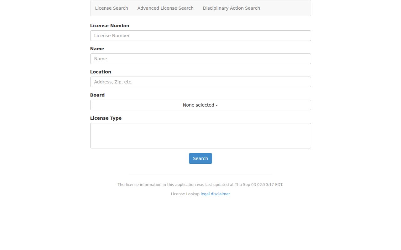
A location search result can help verify a public credential question, but it is not proof that the listed person lives near a McNair parcel.
Virginia DHP verification guidance describes its real-time practitioner-specific verification route.
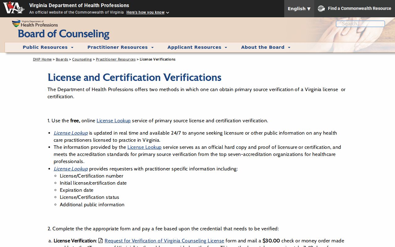
Use DHP only for the relevant credential verification and retain the source date, rather than using it as a general person or address search.
McNair Neighbors Need the Right Custodian
An address does not make all county records relevant to a block search. Fairfax Circuit eCaseSearch and Virginia OCIS are case-index routes with separate field rules and confidentiality limits. A court party is not established as a McNair neighbor merely by a name hit. When a lawful, specific court-record question exists, use the case number, date, role, and court to disambiguate it, then seek file review or copies through the appropriate clerk.
Fairfax General District Court handles traffic, misdemeanors, and civil matters for Fairfax County and the Towns of Herndon and Vienna. The main office is at 4110 Chain Bridge Road, and the Herndon courthouse is at 765 Lynn Street. This is a clerk-routing fact, not a block directory.
Fairfax General District Court contact information identifies the county and Herndon court locations for appropriate clerk routing.
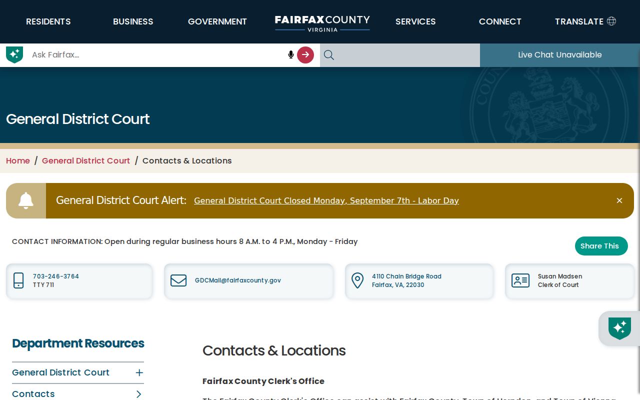
Keep court, parcel, postal, and service records in separate columns so an unrelated index result does not become a neighborhood assertion.
Privacy Limits for McNair Neighbors
What is public is not necessarily appropriate to combine or publish. Virginia Safe at Home, Va. Code §2.2-515.2, protects qualifying participants’ actual address and phone information from ordinary disclosure. Protective-order confidentiality can also protect residential address, phone, and related location information. Court records can be sealed or confidential, and parcel-owner display can be withheld. Do not use a historic address or a public parcel record to reconstruct protected current contact information.
Fairfax County FOIA is a routing office, not a universal archive. Send a request to the agency that created or holds the record. Virginia FOIA does not require an agency to create a new record or compile a new list. Retain a negative result as “not located in this source” and preserve the source date, search text, filters, and any stated restriction.
Lawful use. McNair neighbor research is for personal, lawful use of narrowly relevant public records. Never use an address, parcel, or public-context result to stalk, harass, or harm anyone.